Chronomap is the premier fully plug&play MapInfo© Professional add-on for creating, analyzing and combining proximity maps (isochrons, catchment areas, sectors, ...)
MapInfo© Professional is a registered trademark of Pitney Bowes Corporation
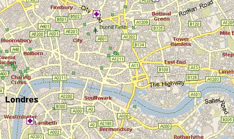
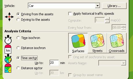
Before optimizing your route
Before optimizing your routes, you should partition your customers into strategic distribution zones so that you can assign your routes based on different depots or companies.
You may determine which customers should be served from which depot, according to distance and the time required to reaching them.
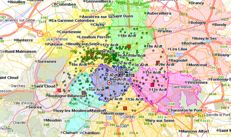
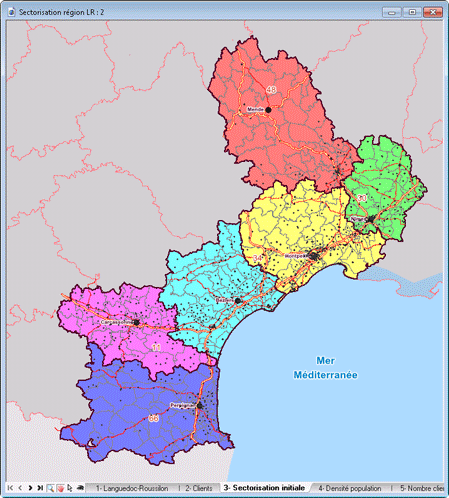
Territories balancing
ChronoMap for MapInfo© offers you territories balancing solutions to allocate your customers to different strategic distribution areas so that you can assign routes evenly based on different retail outlets or brands.
ChronoMap allocates each item to territories, balancing the potentials between each territory. Thus, you can balance the workload and business of your salesmen or partners, and optimize the organization of your company.

 You manage many
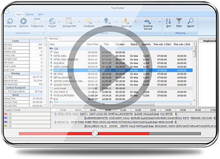 Route optimization